
Trace a Bernards Township Street by Address
For a street-by-street search, begin with a single known number instead of assuming a road name produces a household list. Bernards Township’s assessor record supplies the current parcel starting point. Somerset County’s map then confirms where that parcel sits on the road, and the County Clerk index supplies the recorded-transfer trail. This sequence is useful because a map result may not name an owner, while a deed may use a legal description that is easier to verify after the parcel has been identified.
- Search the address in the Bernards Township WIPP property portal and write down the situs address, block, lot, owner field, mailing field, and any sale or deed reference shown.
- Enter the address in the Somerset County Tax Parcel Viewer. Select the polygon and retain its PAMS_PIN, municipality, block, lot, qualification, tax-map reference, and visible deed-book or deed-page fields.
- Use the same block and lot, legal description, book/page, party name, or recorded date in AcclaimWeb to find the relevant instrument.
- For construction dates or alteration context, check the township SDL portal by address. Treat a permit as work history, not proof that a particular person was present.
- When the question reaches an older household, compare the parcel evidence with regional directories, newspaper material, and the library’s house or surname files.
The state voter-status tool is not a browse-by-street directory. A permitted Somerset County voter-file request is a separate election-record route with statutory limits, protected fields, and political-purpose conditions. It should not be used to fill gaps in parcel evidence.
Search Bernards Township Street Parcel Fields
The township’s Square Footage & Assessment Data portal is the first stop for a present-day address. It is based on the MOD-IV parcel model. WIPP can search by owner name, property location, and block or lot, then return the fields that let a street search stay tied to one parcel. The live interface is JavaScript-driven, so field labels can change, but the documented record model distinguishes search inputs from result fields.
| WIPP field | Search or result | Use on a street search |
|---|---|---|
| Owner name | Optional text search | Find a parcel by its indexed owner and compare initials or spelling. |
| Physical property location | Optional text search | Use the house number and street name for the parcel’s situs. |
| Block, lot, qualification | Optional parcel fields | Preserve the legal key when a street label is unclear. |
| Owner mailing address | Result field | Identify correspondence information, which may be outside the township. |
| Land and building description | Result field | Compare physical characteristics with GIS and historical maps. |
| Property class and exempt status | Result or filter | Read tax classification without treating it as residency proof. |
| Assessment and tax data | Result field | Keep the record date and parcel context with the search notes. |
| Sales or realty transfer | Result tab or link | Use as a lead for a recorded instrument in AcclaimWeb. |
The owner mailing address deserves special care. MOD-IV holds it separately from the physical property location, so it can explain where correspondence goes but does not establish that an owner lives at the Bernards Township situs address. Likewise, an exemption or property class is a tax field, not a household count.
The New Jersey parcel-data portal provides statewide context for the address, municipality, block, and lot framework used in parcel research.
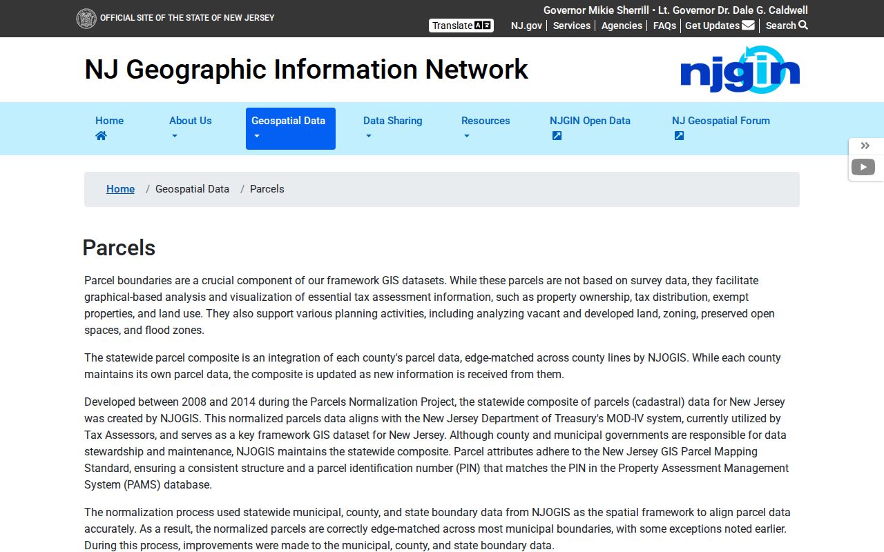
Use the statewide source as a cross-check for parcel terminology, then return to the municipal WIPP record for Bernards Township-specific assessment detail.
Map a Bernards Township Street in GIS
The Somerset County Tax Parcel Viewer turns a street search into a map walk. Enter an address, select the matching polygon, dock its attributes, and then click adjoining parcels or pan along the road. The county’s guide identifies Address Search, Parcel Query, Select, Draw + Measure, Map Layers and Legend, Bookmark, Print, Basemap Gallery, Share, and a 200-foot Notification tool. The notification tool supplies nearby-parcel context, while Select is better for an exact adjacent polygon.
Useful attributes include PAMS_PIN, MUN, BLOCK, LOT, QCODE, PropLoc, LandDesc, Acreage, Zoning, TaxMap, BuildDesc, DeedBook, DeedPage, SalesDate, SalePrice, LandValue, ImprValue, and NetValue. The county layer reports an April 30, 2026 data update. These values make the GIS record a strong connector between an address and a clerk index, even when a street has similarly named roads or multiple parcels close together.
The parcel viewer is not a legal survey and cannot establish ownership or a boundary. County and state warnings matter here: hosted owner names are redacted under Daniel’s Law. A polygon can show the right land parcel but still needs WIPP and the recorded instrument for the ownership side of the question.
The Somerset ArcGIS parcel layer exposes the structured field inventory behind the map view.
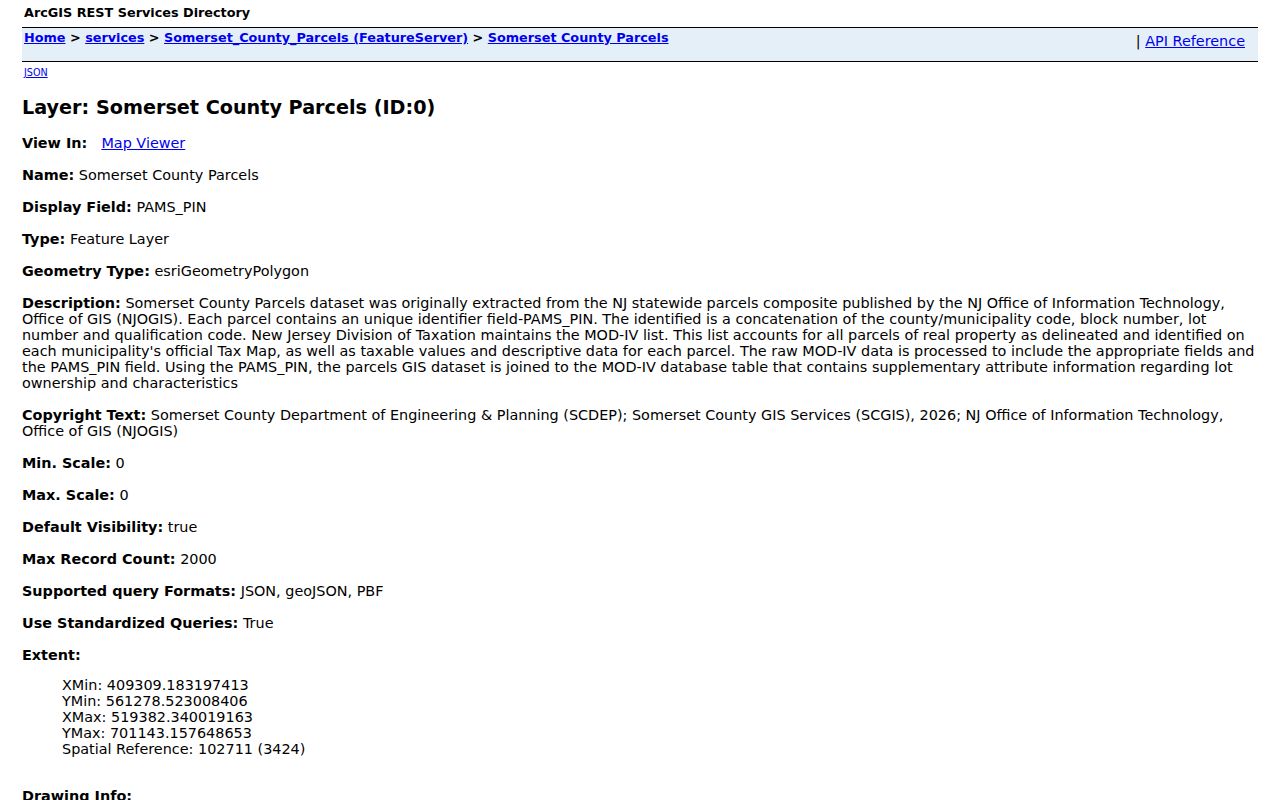
A street directory search can use the map for parcel geometry and identifiers without claiming that the visible parcel edge is a surveyed boundary or that a redacted result identifies a household.
Use Bernards Township Street Deeds
Once WIPP or GIS provides a legal key, use AcclaimWeb, the Somerset County Clerk’s land-record index. Its documented modes include Name, Book/Page, Instrument Number, Legal Description, Document Type, Consideration, Record Date, and Alpha Index. Name searching uses last name first, while the legal-description route can use block, lot, municipality, and related identifiers. The instrument, book/page, recording date, and legal description are often more dependable than a street line copied from memory.
At the County Clerk’s Land Records Division, 20 Grove Street in Somerville, the public Records Room permits inspection and retrieval. Staff can help a visitor become familiar with the computerized index, but they do not conduct a title search. The county’s land-record information also says surveys are not recorded. That makes the clerk record useful for a transfer trail, not a substitute for professional boundary work.
Bernards Township Street Records Since 1977
Ordinary AcclaimWeb searching begins on January 1, 1977. That number changes the method for older Bernards Township street research. A post-1977 recorded instrument can usually be located online, while an earlier name trail begins with the Alpha Index and may continue in deed books or microfilm at the Clerk’s office. Do not call the online range a complete ownership history just because a road or address appears in a current portal.
Index searching is free. Images are unofficial and watermarked, but a free account allows viewing or downloading. A certified copy ordered through the cart costs $10 per document plus $1 per page and can be mailed. A plain Records Room copy is 7 cents per page. Those are different levels of access, and only the custodian can provide the appropriate official copy when one is needed.
Check Bernards Township Street Permits
Address-based construction information is a separate layer in the street directory workflow. Bernards Township directs public construction status through SDL; the research documents a free-account route, public status, and Construction Department counter or email fallback. A permit or inspection can help date new work, additions, or a substantial alteration. It does not identify every person connected with a property, and private or personal fields are not part of the public result.
For a planning-board project, the newer MuniCollab project page is a different source. It may carry a project address, block/lot, applicant, and land-use review information, but field availability should be checked in the live project record.
The SDL construction-permit portal is the source shown below for the permit-status layer.
Permit evidence works best beside the parcel and deed date: it can explain a building change, but it does not turn the street directory into a list of people.
MuniCollab Adds Bernards Township Street Records
On June 30, 2026, Bernards Township announced a digital MuniCollab platform for Planning Board land-use review. The project layer can add a timely address, application, or municipal-review reference to older clerk, permit, and map work. It should be read as a project record, not as a resident search. When a project involves a parcel on the street being researched, save the address and block/lot, then verify the property relationship with WIPP, GIS, and recorded instruments.
Compare Bernards Township Address Records
No address-keyed source supplies a complete current household list. The useful approach is to compare the source that answers the actual question and retain its limits. The table separates parcel ownership, geographic context, transfers, construction evidence, election records, and older household references.
| Address record | Local custodian | Street-level evidence | Access route |
|---|---|---|---|
| MOD-IV/WIPP assessment | Bernards Tax Assessor | Owner index, mailing and situs fields, block/lot, class, values, building and land data | Free WIPP search; assessor 908-204-3082 |
| County GIS parcels | Somerset County GIS | Polygon, PAMS_PIN, block/lot, zoning, tax map, sales and deed references | Free viewer and ArcGIS layer; owners redacted |
| Recorded deeds | Somerset County Clerk | Grantor/grantee, recording date, instrument, book/page, legal description, consideration | Free index; account images; Records Room and certified-copy routes |
| SDL permits | Township Construction Department | Address-based permit, work, inspection, and public application status | SDL account; counter or email fallback |
| Planning projects | Township Planning and Zoning | Project address, block/lot, applicant, and review material where posted | MuniCollab project record; inspect live fields |
| Voter record | State and Somerset Board of Elections | Permitted registration-list geography and selected statutory fields | Status lookup or restricted request form; protected data withheld |
| Directories and newspapers | Libraries and local-history collections | Selected historical address, household, spouse, occupation, notice, and house-history clues | Regional 1930/1938 volumes, archives, and reference help |
For one identified person rather than a whole road, use the Bernards Township resident lookup workflow to compare dates, roles, and independent records. A street search is strongest when it stays focused on the address chain.
Separate Bernards Township Street and Parcel Names
Bernards Township addresses may use Basking Ridge, Liberty Corner, Lyons, or a Far Hills postal designation. Postal routing does not settle municipal location. The township’s official ZIP material lists 07920, 07931, 07938, and 07939, and a road can be associated with a postal city that differs from the legal municipality. For records work, keep the situs address, municipality, block/lot, and tax-map reference together rather than relying on ZIP alone.
- Parcel
- A mapped unit of land identified in Somerset records by fields such as municipality, block, lot, qualification, and PAMS_PIN.
- Situs address
- The physical property location in the MOD-IV record. It is distinct from the owner mailing address.
- Legal description
- The recorded land description, often using municipality and block/lot or other identifiers, that can bridge an uncertain street address.
- Criss-cross directory
- A directory arranged to work from an address toward an older household or business entry. No dedicated local run was verified, so use documented regional volumes and library assistance carefully.
No official street-renumbering chronology, ZIP realignment year, or township-wide readdressing project was found in the research. If an old number does not resolve, compare the older street spelling, block/lot, tax map, legal description, and nearby intersection. Do not guess a replacement number.
Read Historic Bernards Township Street Evidence
Older street evidence comes in selected snapshots, not a continuous online roll. Polk’s 1930 Morristown directory includes Bernardsville and Basking Ridge, and a 1938 edition includes Bernardsville. The Bernards Township Library also documents vertical files, house and organization materials, about 2,800 Nettie Allen surname cards, and the Bernardsville News archive. A street search can use those sources to test a date or an address variant, but regional coverage must be confirmed volume by volume.
The historical shelf and entry conventions are covered in more detail through the Bernards Township city directory. For an address chain, note the year, the printed spelling, and whether the record is a directory assertion, a newspaper reference, a permit, or a recorded deed. They are different kinds of evidence.
Limits of a Bernards Township Street Directory
A property roll can name an indexed owner and a map can show the parcel. Neither establishes all people at an address. Non-owner occupants, household composition, utility and delivery accounts, DMV address information, and protected locations are not open street-search results. New Jersey’s Address Confidentiality Program and Daniel’s Law protections can require address redaction, and protected voter fields are also withheld. Do not try to reconstruct or publish an intentionally protected address.
Lawful use. Use Bernards Township street records for personal research, family history, civic questions, and property context. Do not use an address trail to stalk, harass, intimidate, or harm anyone.